The form-filler automatically inserts data into relevant structured documents in an integrated environment. It supports high-resolution Virtual Earth street, aerial and Bird’s Eye imagery. The suite also accesses automatic flood and census data, and high-resolution flood maps.
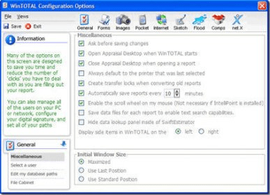
WinTOTAL is a comprehensive formfiller that integrates Virtual Earth images, flood and census data, flood maps, addenda writer, spreadsheets, E&O checker, DaVinci sketching, QuickPix photo retrieval, Comps and Photos Databases, Appraisal Desktop, XSite integration, and more.
WinTOTAL is the only formfiller to integrate high resolution Virtual Earth street, aerial and Bird’s Eye imagery, along with automatic flood and census data, and high resolution flood maps too. Add to that our integrated addenda writer, spreadsheets, E&O checker, DaVinci sketching, QuickPix instant photo retrieval, Comps and Photos Databases, Appraisal Desktop for file, billing and contact management, XSite integration and much more. There’s no comparing WinTOTAL’s seamless efficiency boosting power.




Comments